A Tutorial on GeoAI: Designing Footprint Extraction from NAIP Imagery Using U-Net, Grounding DINO, SAM, and Mask R-CNN
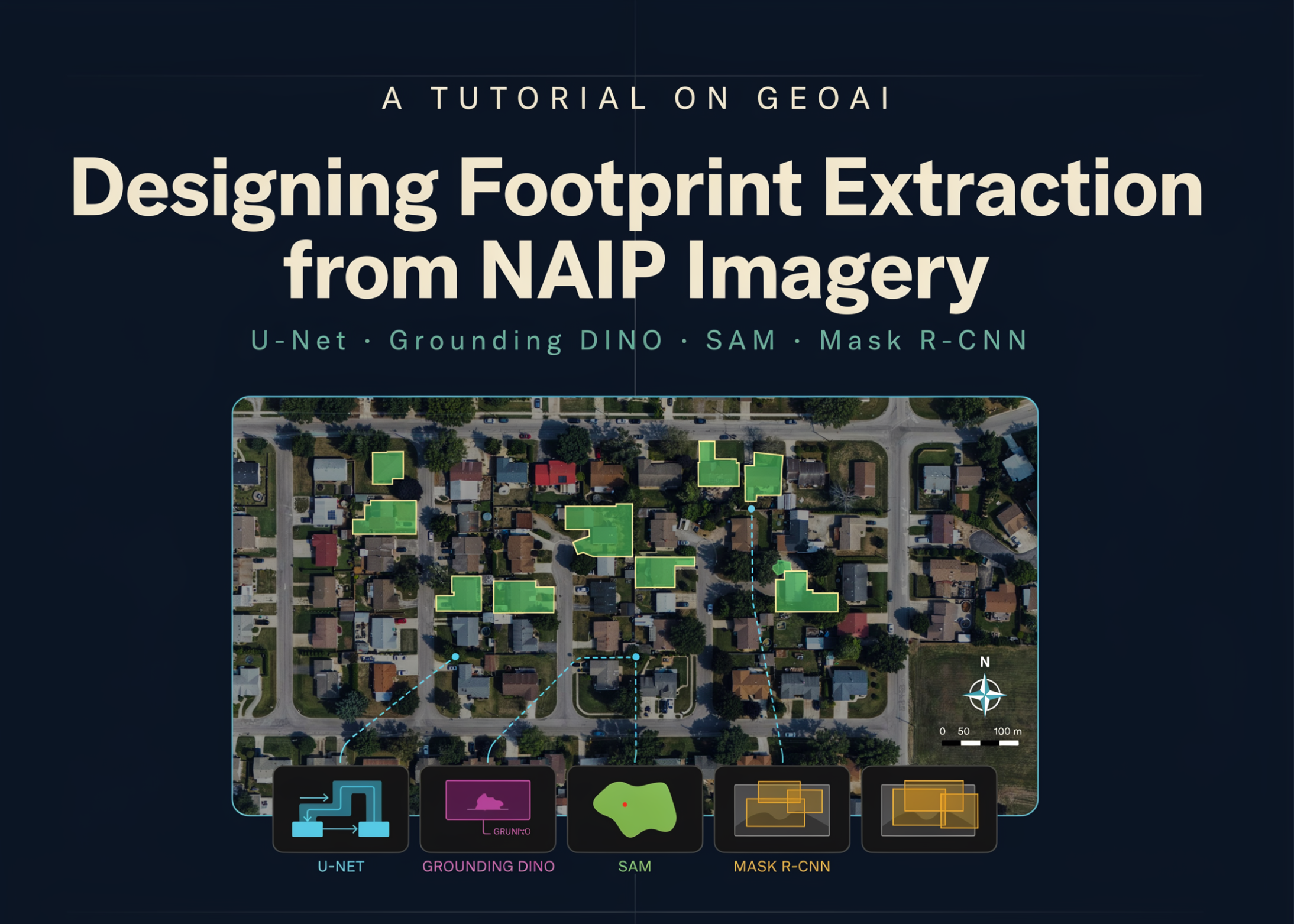
In this tutorial, we design a complete GeoAI workflow for extracting building footprints from high-resolution NAIP aerial imagery. We begin by configuring the geospatial deep learning environment, downloading raster imagery and vector labels, and inspecting their spatial properties before generating georeferenced image chips and segmentation masks. We then train a U-Net model with a ResNet-34 encoder, evaluate its learning behavior, and apply sliding-window inference to an unseen scene. Beyond
Get smart on it
This tutorial demonstrates how to build a complete workflow for extracting building footprints from aerial imagery using multiple artificial intelligence models. The process involves configuring a geospatial deep learning environment, downloading aerial imagery and building location data, training a U-Net model with a specific encoder architecture, and comparing results from different segmentation approaches including zero-shot models and instance segmentation. The tutorial extends to real-world applications by incorporating imagery from Microsoft Planetary Computer and building labels from Overture Maps, showing how the same pipeline can be adapted for different geographic areas.
Related news

Meet Shepherd: An Open-Source Python Substrate That Lets Meta-Agents Fork, Replay, and Revert Any Agent Run
Long-running agents accumulate state that no transcript captures. A coding agent at step 10 holds edited files, a running dev server, installed packages, and a warm prompt cache. When it misreads a traceback and rewrites a file that was already correct, neither available recovery path is cheap: patching forward grows the context and the token bill, and restarting from step one re-pays every model and tool call while reproducing nothing exactly, because runs are non-deterministic. Jumping back t

How to Disable Gemini in Gmail and Google Docs
New AI toolbars and prompts are showing up in Google Docs and Gmail. If you don’t want Gemini’s help in writing documents and emails, here’s how to turn that stuff off.